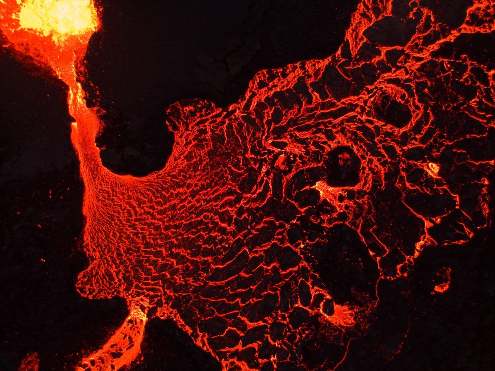
NASA Satellites Track Birth of New Island from Underwater Volcanic Eruption in Bismarck Sea
A brand new island is rising from the ocean floor, and NASA's satellites are watching every second of it happen. This isn't science fiction. Right now, in the Bismarck Sea, molten rock is pushing through the Earth's crust and creating land where only water existed days ago.
What makes this event extraordinary is the precision with which scientists can observe it. According to ScienceDaily, NASA's constellation of Earth observation satellites has captured the volcanic island's emergence in real-time, giving researchers an unprecedented window into how our planet literally remakes itself.
How NASA Satellites Detected the Underwater Volcano Eruption
NASA's satellite network operates continuously above Earth, scanning the surface with infrared sensors and high-resolution cameras. When the underwater volcano began its eruption in the Bismarck Sea, these instruments immediately registered the thermal signature of molten material breaking through the ocean's surface.
The satellites don't just take pretty pictures. They measure heat emissions, track water temperature changes, and monitor the exact location and size of the growing landmass. This data streams to geologists in real-time, allowing them to understand the eruption's intensity and trajectory.
The Bismarck Sea, located off the coast of Papua New Guinea, sits atop one of the world's most geologically active regions. The Ring of Fire, that arc of volcanic activity encircling the Pacific Ocean, creates conditions where underwater eruptions like this one occur with relative frequency. What's rare is being able to document the process so clearly.
New Island Formation and Geological Significance
The emerging island represents something profound: Earth's crust actively building itself. The volcanic material doesn't just stay underwater. As the eruption continues, it accumulates faster than the ocean can erode it, breaking through the water's surface and becoming permanent land.
Islands born this way are geologically young and unstable. They lack the solid foundation of older islands and can collapse back into the sea if the volcanic activity stops. Scientists estimate that many volcanic islands formed this way throughout history, including parts of Iceland and the Hawaiian archipelago.
The real-time monitoring allows researchers to measure growth rates with stunning accuracy. They can track how quickly the island expands, predict its ultimate size, and understand the mechanics of island formation in ways previously impossible.
Real-Time Volcanic Island Monitoring Technology
NASA's satellite constellation includes specialized instruments designed exactly for this kind of work. The Landsat series, operating since 1972, provides multispectral imaging that reveals thermal and structural details invisible to the human eye. Newer satellites like those in the Copernicus program add even higher resolution and faster update cycles.
This technology represents a shift in how geologists study volcanic processes. Instead of visiting dangerous eruption sites and taking samples, scientists can observe from space with minimal risk. The data collected feeds into models that help predict future volcanic behavior across the planet.
Historical volcanic islands were discovered by accident, often after they already existed. The Surtsey Island off Iceland's coast, born in 1963, became famous because scientists could study its early development. Today's monitoring means we don't have to wait for islands to announce themselves. We catch them in the act of being born.
What This Means for Understanding Earth's Geology
Watching a new island form challenges our assumption that Earth's major geological features are ancient and static. The ground beneath our feet is actively changing, reshaping, and rebuilding. This Bismarck Sea eruption proves that transformation happens on a scale we can witness within weeks.
The data NASA collects from this event will inform volcanic hazard assessments worldwide. Understanding how underwater eruptions behave helps predict tsunamis and plan evacuation strategies for nearby populations. Knowledge of island formation improves our grasp of plate tectonics and crustal dynamics.
For the scientific community, real-time monitoring represents a revolution in Earth observation. We're no longer passive observers of geology. We're active participants, documenting change as it unfolds.
The next time you think about islands as permanent features of our world, remember what's happening right now in the Bismarck Sea. Earth is creating new land while NASA watches from above, recording every moment of this geological miracle.
Want to explore more about how technology is transforming our understanding of Earth's dynamic systems? Check out our latest scientific discoveries or browse our full collection of nature and geology stories. For updates on NASA's ongoing Earth monitoring missions, visit our daily science feed.
Learn more about underwater volcanoes and explore National Geographic's volcano coverage for deeper context on volcanic processes worldwide.